
From submission
to approval.
Provide applicants instant clarity on local rules, catch submission errors before intake, and manage application workflows seamlessly in one centralized platform.
Your workflow, but faster
- 01
Intake
Receive pre-screened, compliant applications before review starts.
- 02
Review
Automated deficiency checks eliminate tedious back-and-forth cycles.
- 03
Coordinate
Streamline inter-department approvals using centralized workflows.
- 04
Approve
Approve submissions quicker with clear, real-time permit tracking.
Permit
Tracker
Permit Nav packages fully pre-validated submissions and routes them directly to the appropriate municipal departments in the exact digital formats required.
Standardized submission packets
Delivers structured application files formatted specifically for municipal intake systems.
Automated inter-departmental routing
Directs files to planning, engineering, building, or environmental review teams.
Municipal review dashboard
Provides staff a single, centralized portal to manage incoming applications across jurisdictions.
Drawing
Checker
Permit Nav verifies applicant drawings and documentation directly against municipal codes and bylaws to catch deficiencies before they reach plan checkers.
Drawing & document validation
Auto check plans against local zoning bylaws and building standards.
Completeness verification
Makes sure any required files or permits are not missed before hitting submit.
Deficiency & risk flagging
Flags non-compliant setback, height, or coverage issues upfront so applicants can fix them before submission.
Centralized file routing
Organizes submitted documentation seamlessly to prepare clean packages for departmental review.
Documents stay private: encrypted in transit and at rest, never sold or shared.
Rule
Verifier
Permit Nav reads the municipal record itself: hundreds of bylaws, checklists, forms, and bulletins, distilled into verified rules that every answer traces back to.
Authoritative source library
Bylaws, application checklists, forms, and bulletins from Metro Vancouver municipalities, alongside the BC Building Code.
AI extraction, human verification
Setbacks, heights, and coverage limits are read from each bylaw, and no number drives a verdict until a person confirms it against the source.
Confidence-graded review
Every extracted value carries a confidence grade, so human review lands first where the source is least clear.
Traceable answers
Every rule links back to the exact municipal document it came from, so applicants and staff see the city’s own words, not a paraphrase.
Parcel
Lookup
Instantly pull local zoning and building parameters by searching any property address, visualized directly on an interactive municipal map.
Values are typical of the zone class and were entered manually. Always confirm against the source PDF — see Zoning details below.
Map shows a 7.6 m uniform inward buffer for reference.
Off-street parking per zoning bylaw Part 10 (Off-Street Parking and Loading)
R2 Urban Detached Residential Zone. PROPOSED - DNV Bylaw 8799 (Schedule A), "Bylaw Under Consideration" dated 2 June 2026, NOT yet adopted; verify before relying on it. Principal-building min setbacks: front 3.1m, side 1.2m, rear 7.6m (7.6m abutting a lane; ocean 7.6m). Coach house permitted with its own setbacks (front 15.2m, rear 3.1m / 1.5m abutting lane, side 1.2m). Height: front 6.1m max 6.7/8.5m (2 storeys); remainder max 10.1/11.6m (3 storeys); coach house 6.7/8.5m (2 storeys). Building coverage 55%/45% (<=/>464.5 m2); front 6.1m capped 25%. Max GFA (no coach house) = net lot x0.7+92.9 (<=464.5 m2) / x0.55+92.9 (>464.5 m2), cap 650.3 m2; WITH coach house x0.7+139.4 / x0.55+139.4, cap 696.8 m2; coach house max 130.1 m2. Min subdivision lot 660 m2 / 18m width / 34m depth. Secondary suite + coach house permitted.
A new home here would need a demolition permit first.
- In a debris flood or debris flow hazard area
- Not confirmed
- In the Seymour River flood plain
- No
- In the 1 m sea level rise area
- Not confirmed
- A stream within 15 m
- Not confirmed
Fetched live from muni ArcGIS + OpenDataSoft endpoints (~10006 ms). Not cached. Sources checked: Slope hazard · Streamside protection · Wildfire hazard · Creek hazard · DPA Form and Character · DPA Natural Environment · DPA Energy/Water/GHG · BC — Provincially designated floodplain · Sea level rise · BC — Agricultural Land Reserve.
- In any of DNV's development permit areas
- Not confirmed
- In DNV's wildfire development permit area
- No
- In DNV's slope hazard development permit area
- No
- In DNV's natural environment development permit area
- Not confirmed
- In DNV's streamside development permit area
- No
- In the Agricultural Land Reserve
- No
- In DNV's fire limits area
- Not confirmed
No structure on record.
- BC Building Code (2024)
- Open ↗
- BC Plumbing Code (2024)
- Open ↗
- BC Energy Step Code (current)
- Open ↗
BC Building Code + Plumbing Code + Energy Step Code apply. The local municipality's construction / permit bylaw governs application, fees, and any local amendments.
| # | LAT | LON |
|---|---|---|
| A | 49.327270 | -123.072269 |
| B | 49.327271 | -123.072751 |
| C | 49.327090 | -123.072751 |
| D | 49.327089 | -123.072269 |
| EDGE | LENGTH | BEARING |
|---|---|---|
| A → B | 34.94 m | N 89° 52' 20" W |
| B → C | 20.10 m | S 0° 06' 12" W |
| C → D | 34.94 m | S 89° 51' 15" E |
| D → A | 20.12 m | N 0° 06' 12" E |
From ParcelMap BC. Not a substitute for a registered survey.
- burnaby-zoning
- Oct 5, 2026 · 903 records
- cnv-trees
- Oct 1, 2026
- coquitlam-zoning
- Oct 5, 2026 · 1,087 records
- dnv-permits
- Oct 5, 2026 · 5,476 records
- dnv-zoning
- Oct 5, 2026 · 2,616 records
- parcelmap-bc
- Sep 1, 2026 · 833,237 records
- richmond-zoning
- Oct 5, 2026 · 2,231 records
- source-doc-recheck
- Oct 5, 2026
- source-doc-reingest
- Sep 23, 2026
- surrey-zoning
- Oct 5, 2026 · 4,272 records
- west-van-zoning
- Oct 5, 2026 · 300 records
- zoning-rules-baseline
- Sep 27, 2026
- zoning-rules-llm
- Sep 28, 2026
- zoning-rules-seed
- Jun 26, 2026
Read from each municipality's own published data. Confirm with the municipality before making design decisions. They make the determination, not this tool.
We don't check these here yet: Trees, Heritage, Easements, Utilities, Applications.
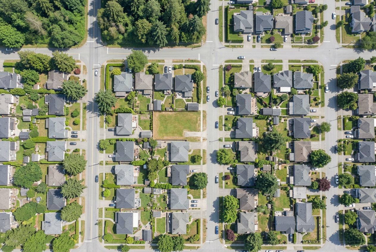
Instant spatial & zoning data
Pulls up property boundaries, zoning details, and local building rules automatically when you search an address.
Interactive GIS map integration
Shows property boundaries, rules, and local details directly on an interactive map.
Unified property profiles
Gives staff a single view of all bylaws, building rules, and past permit records for a specific property.
Clearer submissions
Help applicants prepare thorough packages while streamlining municipal intake and review workflows.
Without
High volume of incomplete files: Caused by applicants guessing through complex bylaws.
With Permit Nav
Receive clean, fully compliant applications with clear, pre-screened requirements before review.
Without
Wasted time on repetitive inquiries: Staff constantly guide applicants through fragmented policies.
With Permit Nav
Instantly cross-reference applicant submissions with local bylaws, required forms, and checklists.
Without
Late-stage revision delays: Zoning conflicts and missing requirements surface late in review.
With Permit Nav
Automated verification catches missing details before reaching plan checkers.
Without
Administrative bottlenecks: Hours spent on manual tracking, follow-ups, and preventable rejections.
With Permit Nav
Accelerating review turnaround times with standardized, complete submissions and predictable progress tracking.
A data-driven system
Every answer is grounded in official regulations, municipality operations, and field experience.
-
Rules database
Multi-jurisdictional permit rules and guidelines aligned with your municipality’s standards.
-
Local insights
Tailored to how your municipal authority processes, reviews, and approves files.
-
Field input
Real-world feedback from contractors and homeowners to reduce common intake errors.
-
Every project
Historical submission data used to improve completeness and speed up review cycles.
-
Direct integration
Connects seamlessly with local permitting software to reduce manual data entry for municipal intake.
-
Vision
Expanding across permit types and municipalities, and eventually working directly with cities to fully integrate, making the process better on both sides of the counter.
Early access · Metro Vancouver
Permits made simple.
Get early access and test new features by signing up for our demo. You won't receive any spam, just a chance to be part of something great.